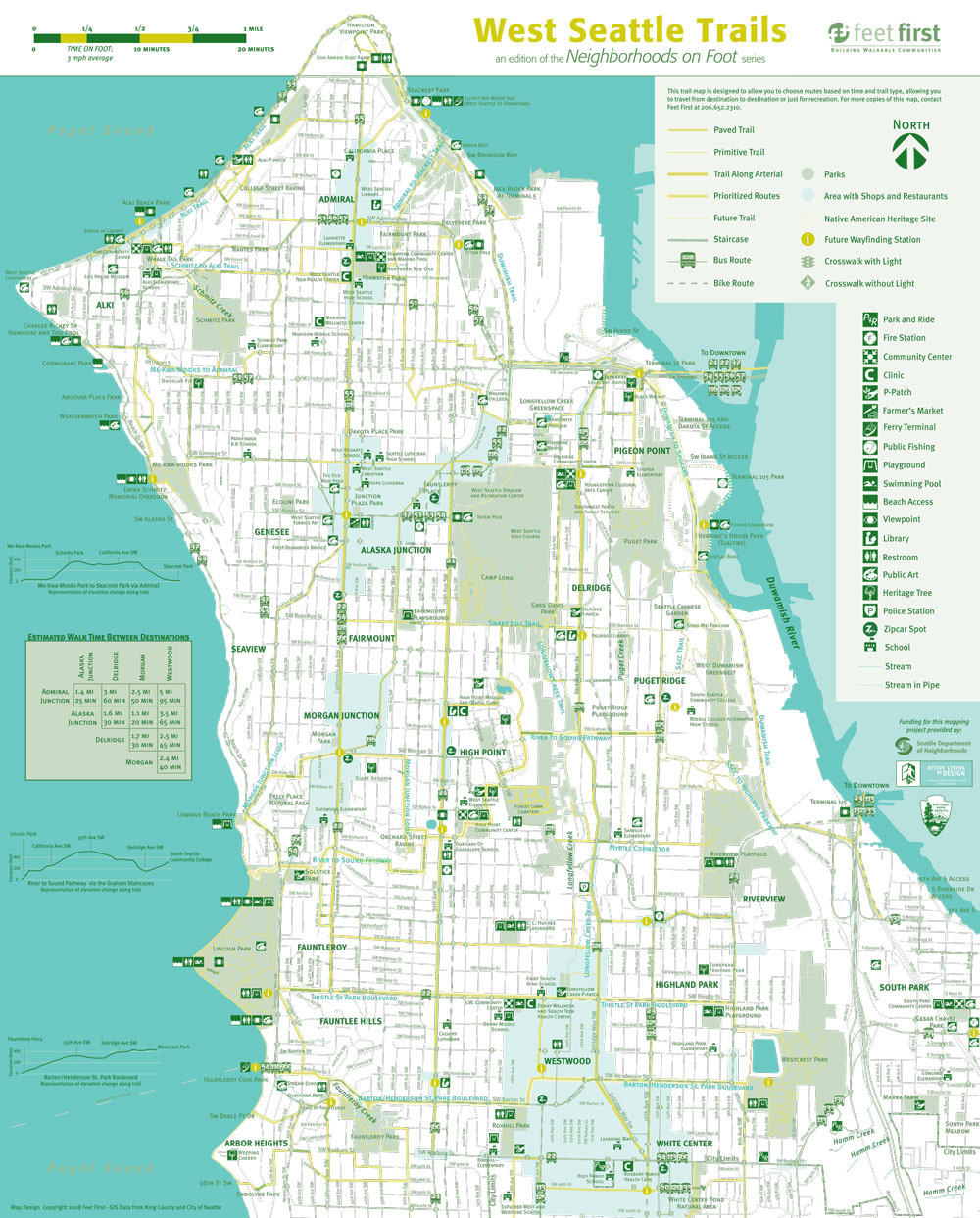
{Map side of West Seattle Trails walking map}
This map is one map in a series of "Neighborhoods on Foot" maps. Mapping features include estimated walk time, elevation gain graphics for priority walking routes, and highlighting of neighborhood amenities.
This map is one map in a series of "Neighborhoods on Foot" maps. Mapping features include estimated walk time, elevation gain graphics for priority walking routes, and highlighting of neighborhood amenities.
My roles included redesign of the map series, creation of symbol set, design of the Ballard (partial), Skyway, Central District, North Beacon Hill, West Seattle Trails, and Children's Hospital maps using ArcGIS, Adobe Illustrator, Adobe InDesign, and Adobe Photoshop. Neighborhood organizations and leaders were also frequently coordinated with. Most maps were contributed to by additional staff members.
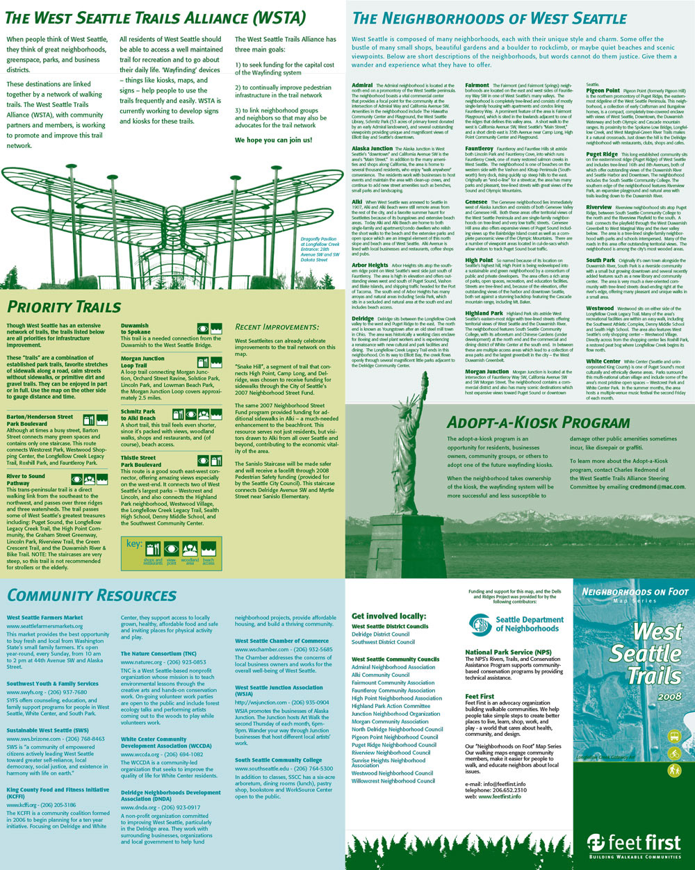
{Text side of map - with panels right-side up for screen viewing}
The West Seattle Trails maps were in wayfinding kiosks throughout West Seattle; this map was an integral part of a wayfinding grant project funded by Seattle Department of Neighborhoods Large Project Fund.
The West Seattle Trails maps were in wayfinding kiosks throughout West Seattle; this map was an integral part of a wayfinding grant project funded by Seattle Department of Neighborhoods Large Project Fund.
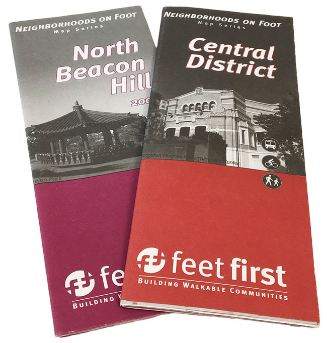
{Two map covers: North Beacon Hill and the Central District}
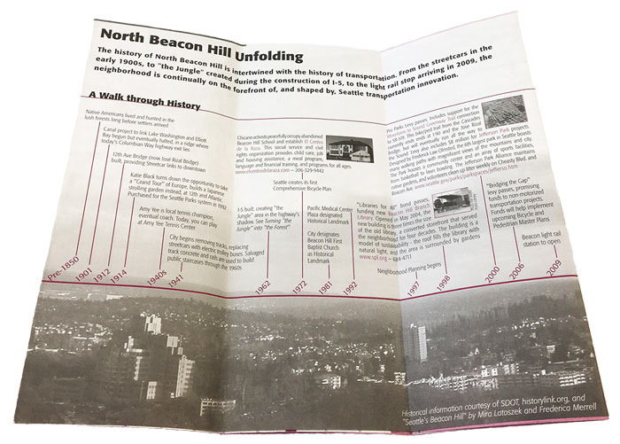
{Timeline inset, text side of North Beacon Hill map}
Neighborhoods on Foot maps frequently highlighted neighborhood history and heritage as well as key infrastructure projects.
{Map side, Central District}
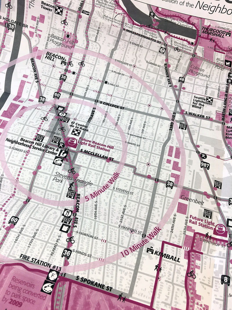
This image highlights one more graphic device adapted for use: a walk minute radius that gives the user an estimate for walking time.
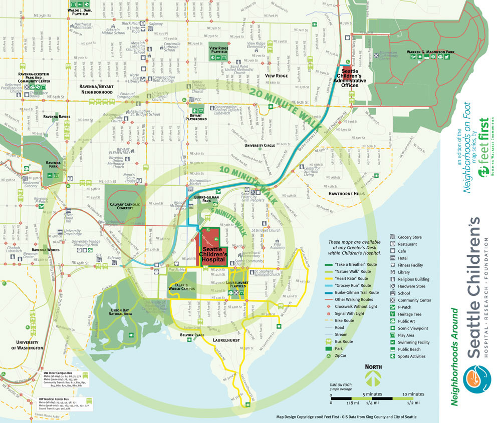
{Map side of Seattle Children's map}
This four-color map was commissioned by Seattle Children's.
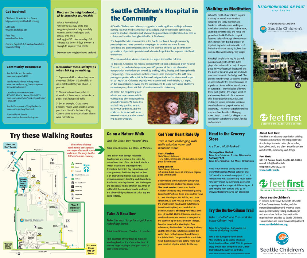
{Text side, Seattle Children's map}
This map focused on identifying walking routes to take in and around the hospital.